- Legal and Engineering Surveying – actions undertaken that assist in the inception and design of engineering activities
- Drone Services – provided when required
- Aerial Survey – process of determining measurements from aerial photographs
- Cadastral Surveys – a survey that shows the establishment and re-establishment of real property boundaries
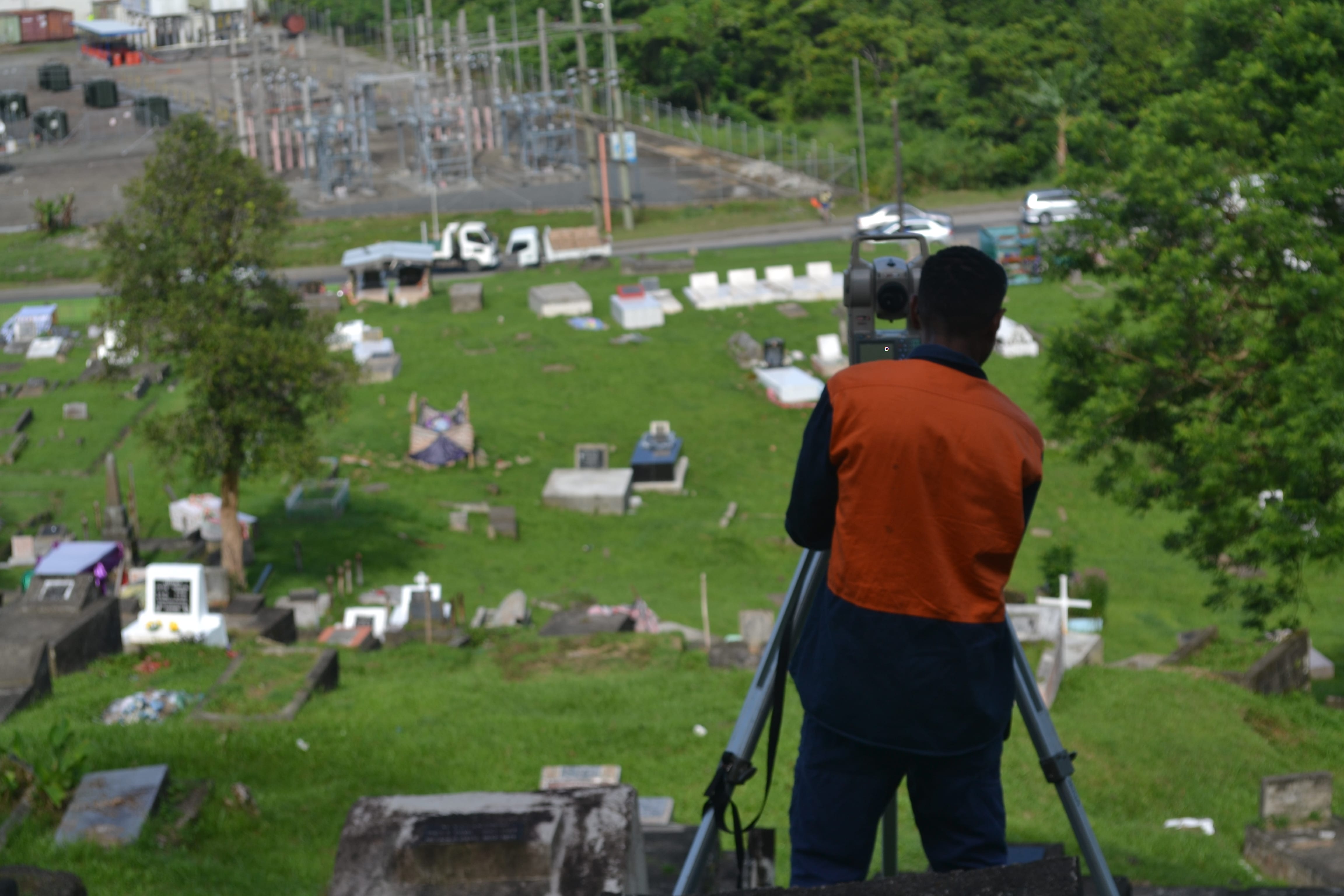
- Topographical & Site Surveys – a survey that presents the accurate representation of all natural and manmade features with levels within a particular area of interest
- Boundary Redefinition Surveys – a survey that either finds or defines the boundaries to any land title
- As-Built Surveys – a survey that shows any or all improvements to land at particular points in time
- Building Set-Out Surveys – a survey where a building design is transferred onto the actual land as reference for construction
- Land Acquisition Surveys – a survey that details the land acquisition process
- Control and Deformation Monitoring Surveys – a survey that tracks and measures the altering of shapes or dimensions of a particular object